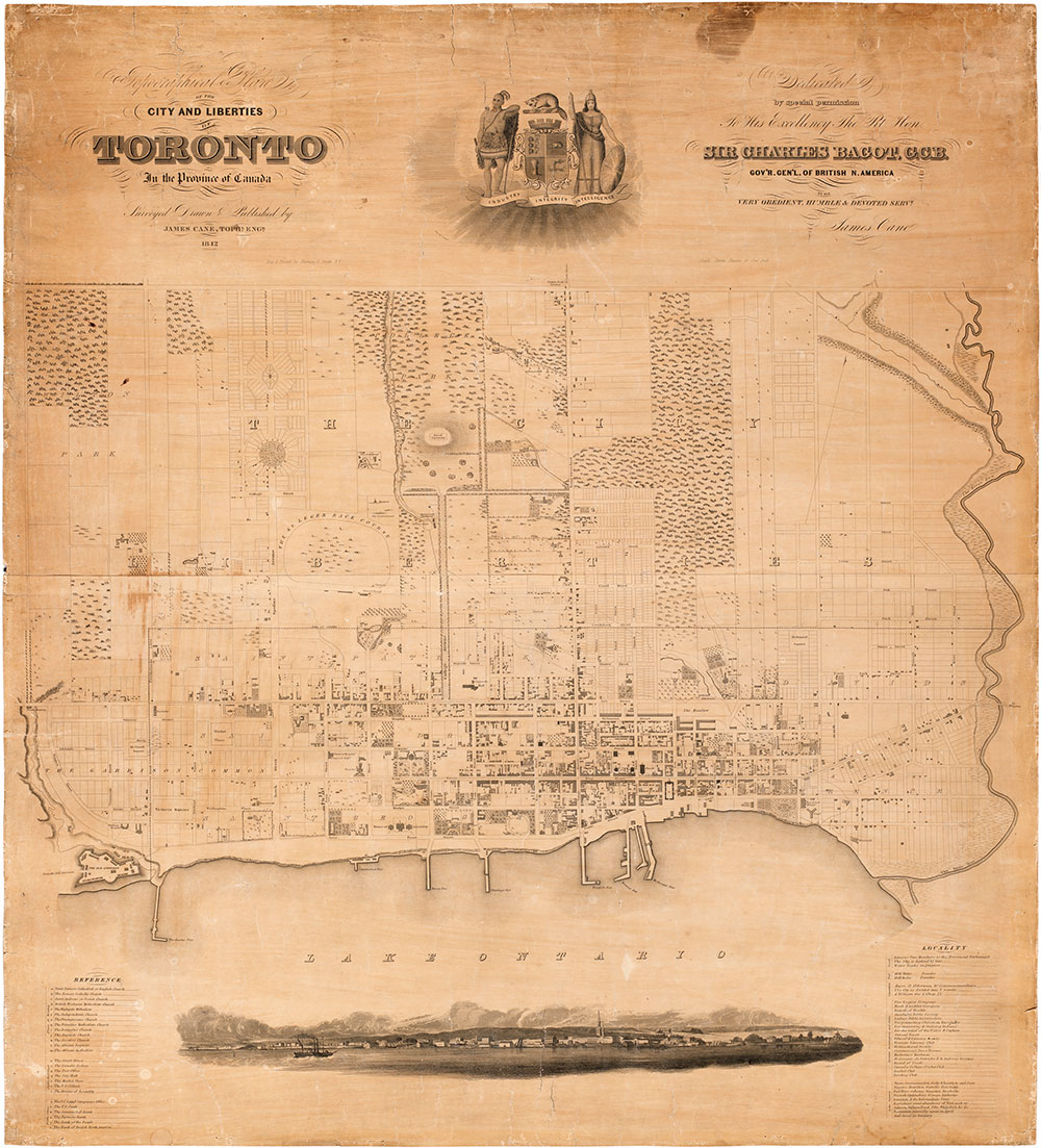
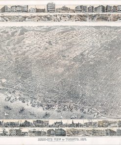
City and Liberties Vintage Historical Toronto Map
Topographical Plan of the City and Liberties of Toronto, In the Province of Canada, Surveyed Drawn and Published by James Cane Tophl Engr 1842 / Dedicated by special permission To His Excellency The Right Hon. Sir Charles Bagot, G.C.B. Gov'r Gen'l of British N. America by his very obedient, humble & devoted servant James Cane.
Available in custom sizes and printed on paper, canvas, and a variety of other materials.
Also available custom mounted or framed.
Call us at 416-923-4308 for more information or to order.


