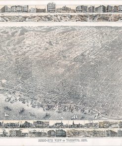
Vintage City of Toronto Map Canada West
Plan of the City of Toronto Canada West 1857. // Published by Fleming Ridout & Schreiber / Lithographed by J. Ellis 8 King St. Toronto C.W.
Available in custom sizes and printed on paper, canvas, and a variety of other materials.
Also available custom mounted or framed.
Call us at 416-923-4308 for more information or to order.


