Vintage Toronto Maps
These old vintage historical maps of Toronto let you show off a piece of Toronto’s history in style. We carry a large selection of vintage Toronto maps and can print them in a variety of sizes (including oversize) and on a variety of materials including canvas.
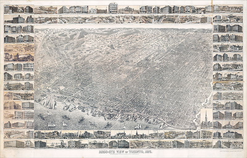
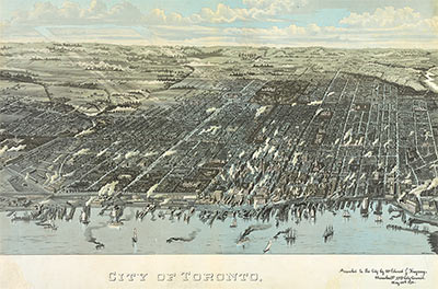
“This bird’s-eye view, with its three-dimensional depiction of the city, gives us a different kind of information on the buildings and topography of Toronto. Obvious here are the varying densities of development and the varied sizes and shapes of buildings. Building projects in Toronto, as in other North American cities, tended to be small so that there were no large expanses of consistent residential architecture, as there were in Britain at the time.
The harbour, the trains, and the factory smoke, together with the types of buildings shown in the margin, testify to the growing commercial and industrial interests of the city in the 1870s.
Peter Alfred Gross (1849-1914) was an American artist and lithographer established in Toronto between 1874 and 1878. He first produced illustrations for the Wentworth County atlas and then prepared and published this bird’s-eye view of Toronto in 1876. The view is as if seen from a point 5000 feet above the southeastern part of the island. A year later he published J. Timperlake’s Illustrated Toronto which was to accompany the view and which included a key to major buildings.”
– Isobel Ganton & Joan Winearls, MAPPING TORONTO’S FIRST CENTURY 1787-1884
Come in to the shop to see our selection of pre-mounted vintage maps of Toronto or choose the map, size, and material that’s right for you. We print on-site (even oversize) on paper and canvas. Our oversized historical maps of Toronto look great stretched on canvas and are a lightweight, easy to hang and easy to clean decorating option.
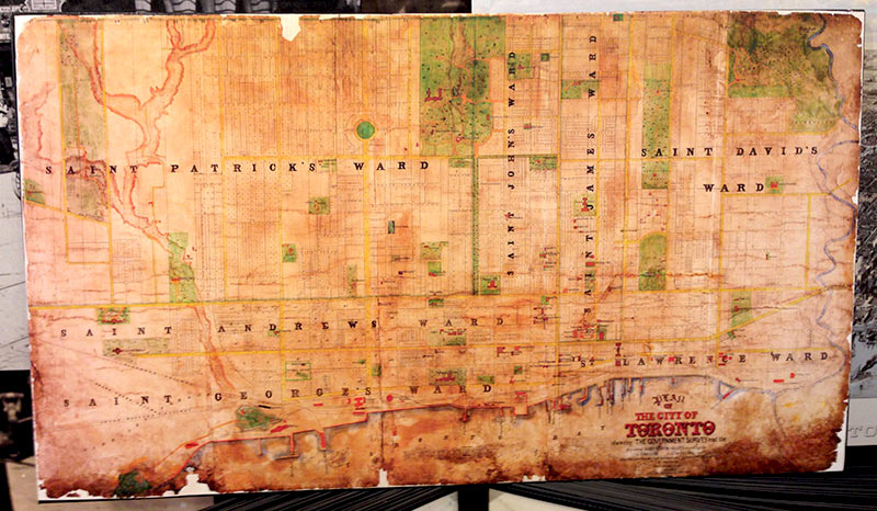
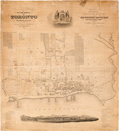
“This map shows the great increase in subdivided land as a result of the boom years of the 1850s. Building lagged well behind subdivision, however, and many of the lots shown here were still vacant decades later.
This type of plan, known as a “compiled plan” first appeared in the 1850s. It was put together from the official plans in the Registry Office, and was very helpful- to speculators, builders, and ordinary citizens trying to locate lots.
Only the major buildings in the city are shown and, as before, they are mainly churches, banks, and institutions.”
– Isobel Ganton & Joan Winearls, MAPPING TORONTO’S FIRST CENTURY 1787 – 1884
We offer custom framing of our vintage Toronto maps on-site and offer beautiful alternatives to picture framing like custom mounting and lamination including Flush Mount lamination.
Wholesale inquiries are welcomed!

Plan of the City of Toronto Canada West 1857. // Published by Fleming Ridout & Schreiber / Lithographed by J. Ellis 8 King St. Toronto C.W. This vintage Toronto map shows the boundaries of the city, all streets, ward boundaries, parks and some buildings.
Additional Vintage Maps of Toronto available from Alternative Arts:
